Of late we are organising little hiking trips in Luxembourg and surrounding regions.
Typically these are loops, circuits starting and ending at the same point.
Often, we find ourself willing to alter the starting point or the direction of the loop on a GPX file.
There are a number of graphical tools that enable one to do that, but not entirely to our liking.
Therefore we have developed a Python 3 script, LoopPy, that does precisely that: enables one to choose a different starting point and, if desired, invert the direction of the loop (be it clockwise or counterclockwise).
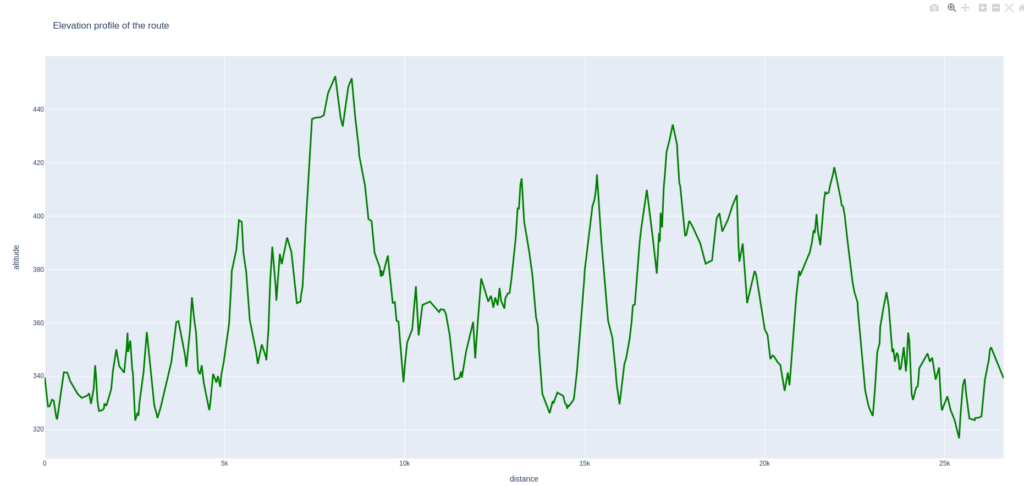
The script will also produce an elevation profile like the following as an interactive HTML file:
The script depends on NumPy, Pandas, Plotly, GeoPy and gpx-converter.
It will prompt the user for the name of the input and output GPX files (full path if the script is run from a different folder), whether or not you wish not invert the direction of the loop and whether or not you wish to choose a different starting point.
The later being affirmative, you will need to provide the latitude and longitude of the new starting point exactly as it is in the original GPX file.
The new starting point needs to be chosen among the existing waypoints.
In order to find out the coordinates one can use a graphical tool such a GpsPrune (Linux), Tracklia (Android) or any other tool which provides you with the coordinates of a waypoint when clicking on it.